![[Valid Atom 1.0]](valid-atom.png "Validate my Atom 1.0 feed")


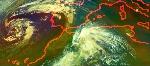


 AVIRIS maps like this one over the Louisiana coast will be used to provide a baseline of ecosystems and habitats that can be compared with data from future AVIRIS flights to assess the impacts of the oil spill. Image Credit: NASA/JPL-Caltech/Dryden/USGS/UC Santa Barbara


